
Auburn Hills ZIP Code Coverage
Postal geography around Auburn Hills has to be read with care. Michigan's official reference map labels Auburn Hills with 48326, and the Auburn Hills Post Office uses that code. USPS postal bulletins also list 48321 in Auburn Hills references. Those sources establish useful starting points, not an address-by-address boundary. For a particular home, the live USPS lookup determines mail delivery and Oakland County's parcel map determines whether the land is in Auburn Hills. Keep both results, plus the date checked, when a record carries an unexpected postal city.
| Postal code | Located coverage | Post-office reference | Verification note |
|---|---|---|---|
| 48326 | Auburn Hills reference area on the Michigan map | Auburn Hills Post Office, 2960 Auburn Road | Use USPS for the exact delivery assignment. |
| 48321 | Auburn Hills appears in USPS Postal Bulletin references | No separately verified station found in the research | Retain as a postal-reference clue, not a complete boundary. |
| 48307 | Nearby Rochester and Rochester Hills reference | Nearby Rochester Hills route | A postal neighbor, not proof that a parcel is outside Auburn Hills. |
A ZIP code directory is most useful when it preserves that uncertainty instead of turning a broad mail zone into a resident list. The sources located for Auburn Hills do not publish a complete ZIP-to-neighborhood table, per-ZIP registration counts, or a ZIP-wide property export.
When an address remains uncertain, use a fixed fallback chain: USPS for the delivery result, Auburn Hills BS&A for the city parcel card, and the County Property Gateway for the mapped municipality and PIN. Auburn Hills Community Development or Assessing and Oakland County Mapping Services are the documented contacts for an address-assignment or boundary question. The research did not locate an E911-style citywide address-assignment authority or a citywide readdressing project, so neither should be inferred from a ZIP label.
Auburn Hills Postal Reference Points
The Auburn Hills city directory helps confirm which municipal department handles an address question before a postal label is used as a jurisdiction answer.
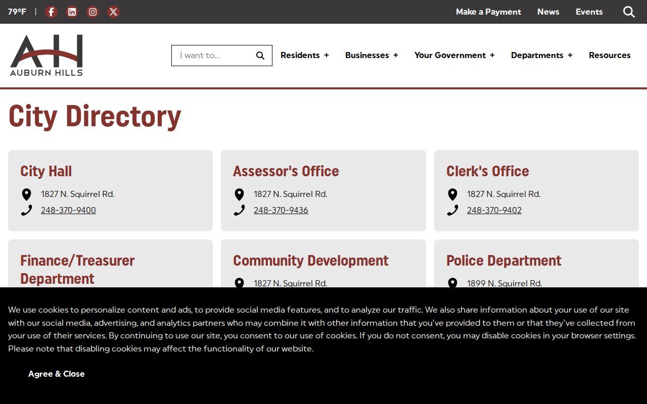
A city contact can route a parcel, planning, or record question to the proper office, while USPS still controls the delivery-side answer.
The live USPS Auburn Hills location page identifies the post office at 2960 Auburn Road, Auburn Hills, MI 48326-9998 and lists retail services. USPS directs an address-specific question to its ZIP Code Lookup rather than to a static map.
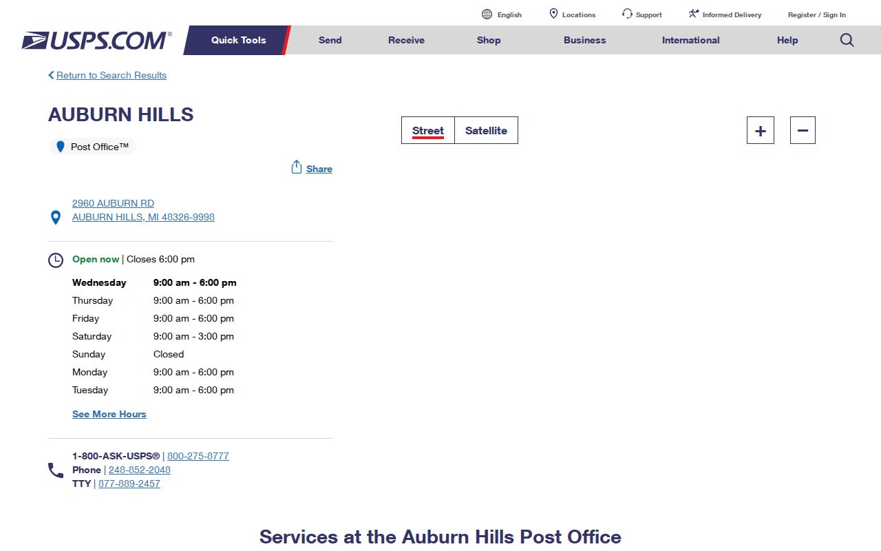
The office page supports 48326 as the local post-office reference, but a street number and delivery line remain necessary for a precise ZIP result.
Note: The Michigan ZIP map calls itself a general reference, so it should not replace the live USPS result for a specific address.
Search an Auburn Hills ZIP Code
A ZIP search should begin with the full mailing address, then move from delivery geography to parcel geography. Neither the city BS&A system nor the County Property Gateway was documented as a verified ZIP-wide resident search. Their useful keys are the address and parcel number. Michigan's Qualified Voter File can be requested by a geographic scope, but the form offers jurisdictions, districts, and precincts rather than an unrestricted block or ZIP roster.
- Check the full address with USPS and save the postal city and ZIP as displayed.
- Search the same street address in Auburn Hills BS&A and record the parcel number, also called a PIN.
- Enter the PIN or address in the Oakland County Property Gateway and confirm the parcel's municipality on the map.
- Use the PIN in the deed index only when a recorded land instrument is needed, then compare its date and legal description.
Once the search has narrowed to a particular road, the Auburn Hills street directory gives the address-by-address record route. A broad ZIP result should not be used to infer every occupant on that road.
Auburn Hills ZIP Code Filters
The Auburn Hills BS&A portal is a parcel-detail tool, not a confirmed ZIP filter. Its documented search fields are address, name, and parcel number. After opening a parcel number, the portal can expose general information plus building, image or sketch, sale-history, tax, and permit material where available. The owner field identifies the owner of record, not every person at the address.
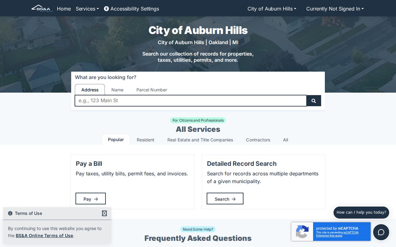
The portal's address and PIN inputs explain why a ZIP must be translated into a specific parcel before a local property record can be checked.
| BS&A field | Input type | What it supports | ZIP mismatch |
|---|---|---|---|
| Property address | Text search | Finds the situs parcel using street text | No dedicated ZIP filter confirmed. |
| Owner/name | Text search | Finds a current card owner | Does not establish every occupant. |
| Parcel number | Text search | Bridges the city card, county map, and deeds | Stronger geographic key than a ZIP. |
| Parcel detail | Linked record | Shows general, building, image/sketch, and sale data as available | Check the displayed situs address separately. |
Use a ZIP only as an early sort. The city record and map are the better controls for municipal location.
Auburn Hills ZIP Code Parcel Keys
The Oakland County Property Gateway accepts a PIN or property address, allows partial address strings and wildcards, and supports map clicking. It is the local check for parcel outline, adjacent municipal context, aerial imagery, and county reports. The ten-digit PIN is the durable bridge when the printed address or postal city changes.
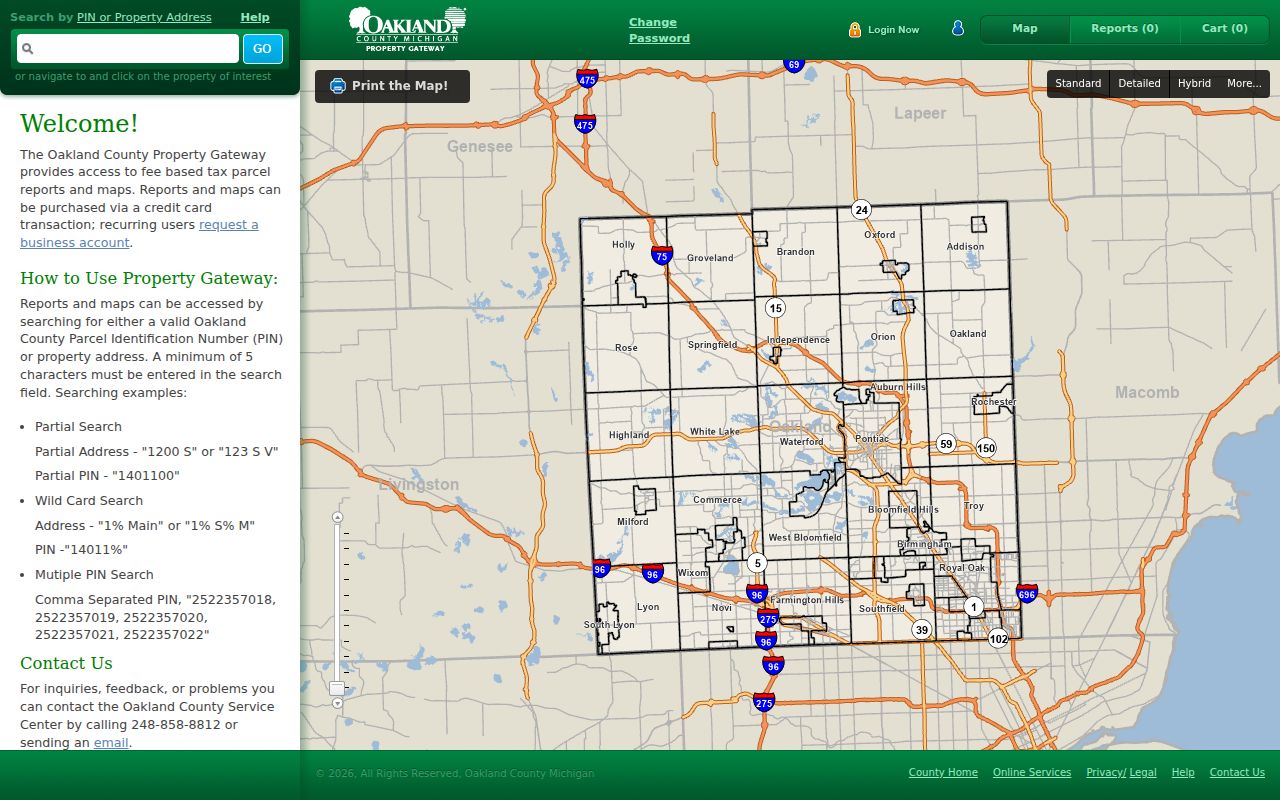
Map confirmation can show whether an Auburn Hills postal address is on an Auburn Hills parcel or next to a municipal boundary.
County mapping services also document historic and current aerial photography, elevation contours, flood maps, landowner reports, and custom maps. Some products are free while others are fee-based. A map or report should be retained with its date and scale, especially where a parcel follows a postal area that crosses into a nearby municipality. A paid county report is a map product, not a replacement for the city's parcel card or a recorded instrument.
A situs address identifies the land. A mailing address is where notices are sent. A legal description identifies the property in a recorded instrument. These three values can differ, and a ZIP code is a fourth, delivery-based value. Save each under its own label.
Auburn Hills ZIP Code Boundaries
City limits and postal labels cross in a highly visible local example. Oakland University uses a Rochester postal address because that was the nearest post office when the campus began, while its land spans Auburn Hills and Rochester Hills. The postal city therefore cannot answer the municipal question. Use the county map and PIN for the land, then use USPS for the mail label.
- ZIP code
- A postal delivery code used to route mail. It is not a city-boundary line or proof that someone lives at an address.
- ZIP+4
- An added four-digit delivery detail used with a ZIP code. It narrows mail handling, not municipal jurisdiction.
- PO Box ZIP
- A code used for post-office box delivery. It does not identify a street parcel or residence.
- Carrier route
- A mail-delivery grouping within a postal area. It is not a public household directory.
The same caution applies at the edge of Rochester Hills: a nearby ZIP reference may be useful for delivery, yet the parcel still requires map confirmation.
Auburn Hills ZIP Code History
USPS Postal Bulletins from 2010 and 2015 are the documented source for the paired Auburn Hills references to 48321 and 48326. Preserve the bulletin date whenever a historic address record uses one of those codes. A postal reference can change or coexist for a delivery purpose, so it should not be silently converted into a current boundary claim.
Older address research also needs the city's naming bridge. Auburn Hills incorporated in 1983 from Pontiac Township and Auburn Heights, and historic records can instead use Auburn, Auburn Heights, Amy, or Pontiac Township. Retain the historical name printed in a directory, deed, or map before searching its modern equivalent.
Note: A stable legal description or PIN can carry the search across a changed street text better than a postal code alone.
Auburn Hills ZIP Code District Scope
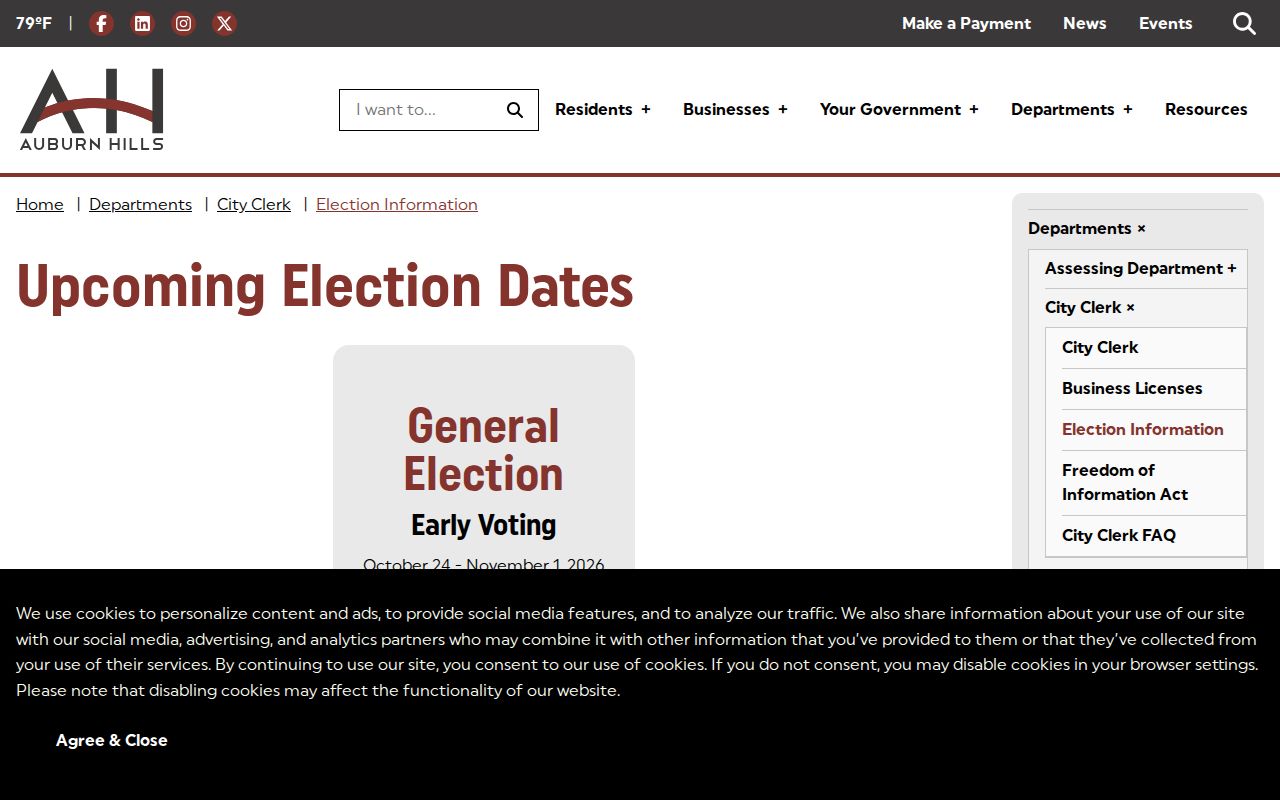
The Auburn Hills election information provides precinct, early-voting, drop-box, and sample-ballot guidance. It also points residents to Michigan Vote. A voter lookup is address and registration-status oriented, not a postal directory. For a public file request, the Michigan QVF form requires one geographic scope such as a city, county, district, or ward and precinct, while withholding protected identifiers.
Precinct and county district lines add civic context, but they do not convert a ZIP code into a complete list of people or parcels.
A written QVF request has its own access path. The Michigan form requires requester and delivery details, permits one geographic selection, and offers pickup, arranged FTP, or mail delivery. It can request participation history by election category or date. The public field list can include name, residential and mailing address when available, year of birth, registration date, status, voter ID, and jurisdiction codes; it excludes full birth dates, phone numbers, email, signatures, driver-license or state-ID information, and Social Security fragments. Confirm the current file format and charges with Michigan's election office before ordering a file.
Safe Auburn Hills ZIP Code Use
Auburn Hills ZIP code work is appropriate for a parcel, family-history, mailing, or civic-record question when the reader verifies the result with the custodian that holds it. Keep the search to the minimum detail needed. The public QVF route withholds phone numbers, email addresses, full birth dates, signatures, and other protected fields. City and county records also have record-specific limits.
Michigan's Address Confidentiality Program uses a substitute address for covered participants. Never attempt to reverse that protection, publish a resident list, or use a postal or parcel search to monitor, threaten, or harass anyone.