
Trace an Auburn Hills Street
Begin a street directory search with one known house number or a cross street. The city property card supplies the parcel key, while Oakland County mapping tests whether that point actually lies in Auburn Hills rather than in a nearby municipality using the same postal city. The deed index can then place dated parties against that parcel. Historic street and reverse directories add dated occupant clues. Michigan voter material is a limited registration source, not a complete household list. Keeping the source and date with every result prevents a street-by-street search from turning a clue into an unsupported claim.
- Search the exact address in Auburn Hills BS&A, then record the displayed situs address and parcel number.
- Enter that address or PIN in the Oakland County Property Gateway. Check the parcel shape, municipality label, nearby cross streets, and map position.
- Use the PIN, legal description, or named party in the Oakland deed Super Index to identify recorded instruments.
- For a dated registration question, use Michigan Vote or the state QVF request route, preserving its redactions and scope limits.
- When the question is historical, test the street and number in the reverse directory runs, then compare the dated entry with census, newspaper, or deed evidence.
That sequence moves from geography to records. It does not assume that a name on a parcel card was the person living there, or that an address in a directory meant ownership.
Auburn Hills Street Directory Fields
The Auburn Hills Assessing Department maintains a record card and plat maps for city parcels and directs property-data searches to BS&A. The portal starts with address, name, or parcel number. After opening a parcel number, its screens can expose general property information, building material, images or sketches, sale history, taxes, permits, and utilities where available. Its vendor notice says the data is reference-only. The practical street directory value is the parcel bridge, not a declaration that every card names a current household.
| BS&A field or control | Input type | Street-directory use | Limit to retain |
|---|---|---|---|
| Property address | Text search | Finds the situs parcel and its displayed address. | Keep the city’s exact formatting. |
| Owner or name | Text search | Finds a card owner by the portal’s matching rules. | It does not identify every occupant. |
| Parcel number | Text search | Connects the city card with county GIS and deeds. | Use the full key where shown. |
| Parcel detail | Link after search | Opens general, building, image/sketch, and sale material. | Available tabs vary by card. |
| Sale history | Table after parcel | Shows date, price, instrument, grantor, grantee, terms, liber/page, and comments. | It is a recorded-transfer clue, not occupancy proof. |
The assessor’s public entry page is shown below. Use it to reach the city’s property route, then capture the card date or disclaimer along with the result.
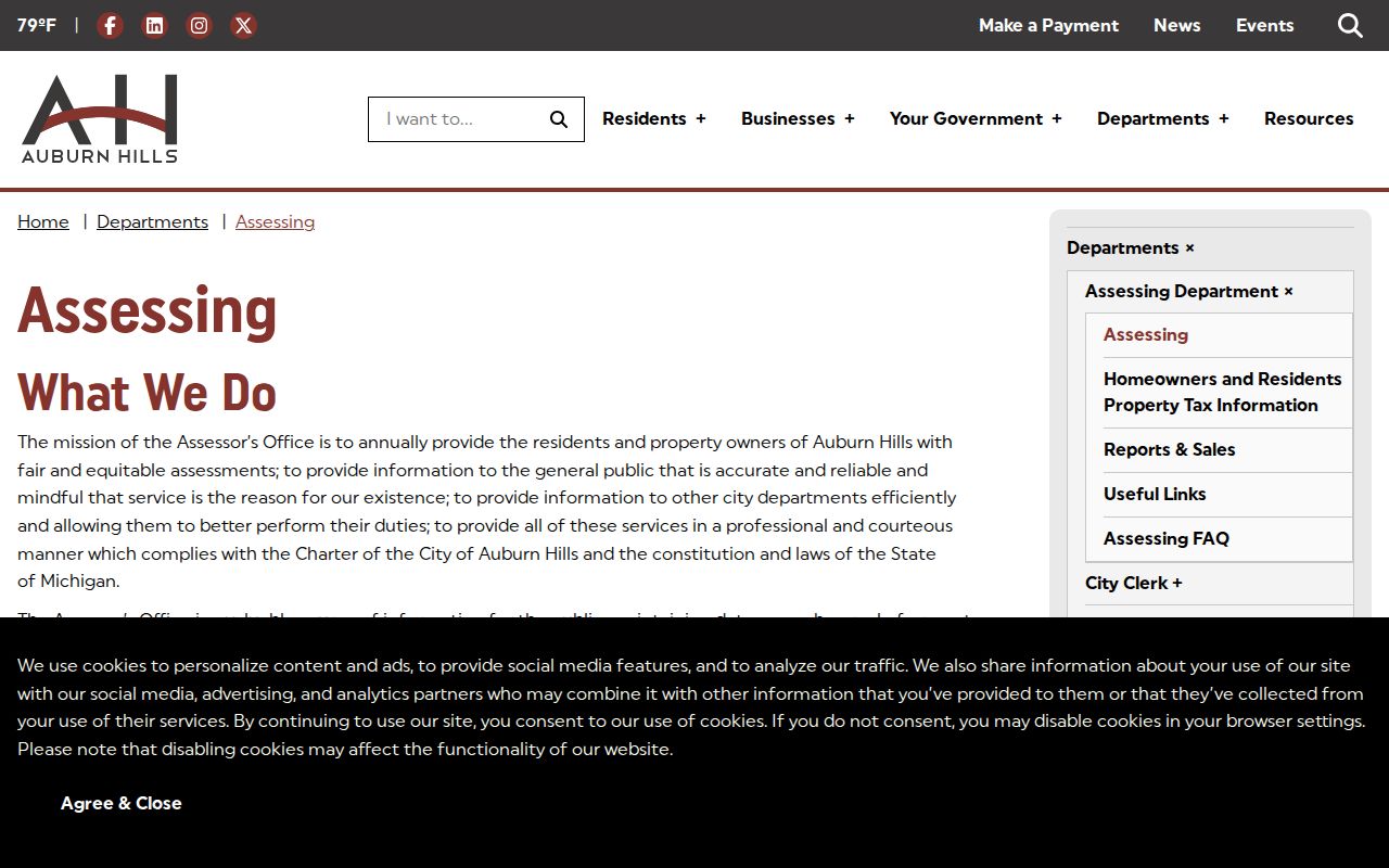
The entry point supports a parcel-first workflow. It is particularly useful when a street name has a common spelling or a number needs to be tested against the city card.
Map Auburn Hills Addresses
The county gateway is the map confirmation layer for a street directory. It accepts a PIN or property address, supports partial and wildcard address searching, and offers map clicking, printing, aerial context, and report options. The help material calls for at least five characters on address searches. Start with a cross street or a known parcel, pan along the road, click only the parcels needed for the question, and keep the municipality label with each selection. Some reports and delivery choices are paid, so the live portal should control the available product and price.
| PIN search | Links a stable parcel key to the county map and reports. |
|---|---|
| Property-address search | Accepts address text, including partial or wildcard search behavior described in gateway help. |
| Map navigation | Allows pan, zoom, and parcel clicking to examine a street segment. |
| Map output | Includes help, print-map, paper, scale, and delivery controls. |
Note: A neighboring parcel on the map establishes geographic proximity only, not a social connection between people.
Auburn Hills Address Record Layers
Each address-keyed system contributes a different fact. City Assessing identifies the parcel and current card owner. The county map establishes location and parcel context. The recorder indexes land instruments. City Community Development and BS&A can expose building, electrical, mechanical, plumbing, sign, or inspection events by address. The City Clerk’s public portal and planning material can supply plats, road projects, meeting records, and boundary context. Historical directories and the QVF offer differently bounded person clues. A useful street directory labels the layer instead of blending them together.
| Address source | Custodian | What it can show | Access route |
|---|---|---|---|
| Parcel card and BS&A | City Assessing | Owner field, parcel, situs or mailing address when shown, tax context, building details, and sale history. | Address, name, or PIN search; assessor contact. |
| Property Gateway | Oakland County Mapping | Parcel outline, adjacent shapes, aerial and flood or district context, and reports. | Map browse, print, or report controls. |
| Deed Super Index | Oakland County Clerk/Register of Deeds | Grantor, grantee, document type, recording date, legal description or PIN, and image status. | Free indexed search; images or details can require payment. |
| Permit and inspection trail | City Community Development / BS&A | Address-keyed work and inspection events where exposed. | Online portal, scheduling, or city request route. |
| Printed address directories | OCPHS, Library of Congress, and library sources | Dated address-to-occupant, business, or telephone clues. | Shelf, microfilm, digitized, or in-person access by year. |
| QVF material | Michigan Department of State / local clerk | Defined public registration fields and precinct context. | Public lookup or written FOIA request; protected fields are withheld. |
Public records do not expose a complete street roster. Utility customers, protected-address participants, unregistered adults, and many household members are not covered by the documented public layers.
Follow Auburn Hills Deed Records
For an ownership question, the Oakland County Super Index is the legal-instrument bridge. Its simple and advanced search tools can use grantor, grantee, date, instrument number, document type, subdivision, block, lot, PIN, and other terms. Result views include party, date, document, and image-related information. Search the selected parcel’s PIN first where possible. If a PIN changed, compare the legal description and the chain of named parties before deciding a result belongs to the same property.
The Super Index interface below is the source for the deed-search image. Guest indexed searches are free, while document image or detail access may involve an account or payment under current county rules.
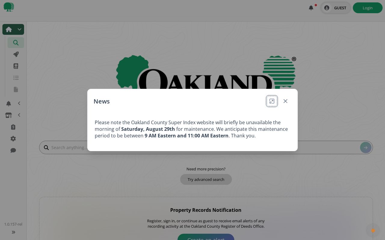
Capture the instrument number, recorded date, document type, grantor, grantee, PIN, legal text, and image availability. A recorded party is evidence of an instrument role, not a statement of where that person lived.
Historic Auburn Hills Street Names
Time and municipality matter in local street work. Auburn Hills incorporated in 1983, so older material may name Pontiac Township, Auburn Heights, Auburn, or Amy. The city’s Public Square history provides one documented bridge: the former Auburn Avenue and Principal Street corner is now Auburn Road and Grey Road. The city’s Five Points history also identifies Joswick as a former Joyce name. Retain both forms in the research notes and search each with the number and the historical municipality.
The Five Points account describes a rural enclave around Pontiac, Squirrel, Walton, Allerton, and Joswick, before later growth changed its setting. The city also reported that Butler Road, completed in 2025, was its last unpaved road and connected the project to a Pontiac Township commitment from the 1970s. These are specific research leads, not a complete street-renaming index. Planning packets, plats, council material, and historical maps are the correct next places to test an unlisted change.
Note: Preserve the modern street text and every earlier spelling together with the source date before comparing two address records.
Auburn Hills Street Directory History
Modern parcel systems do not replace historical address tools. The Library of Congress identifies Pontiac street-address directories for 1954 through 1956 and Pontiac and North Oakland criss-cross coverage for 1972 through 1983, with 1974 and 1975 missing. The Oakland County Historical Society shelf list adds a 1930 Greater Pontiac street guide, a 1919 rural-route directory, and North Oakland criss-cross volumes for 1958 and 1960. A rural-route volume may not resemble a present street directory, so copy its route label and year exactly.
The historical collections belong in their full context on the Auburn Hills city directory page. For a street question, use them narrowly: compare the house number, printed street form, directory title, year, and any occupant or telephone-key clue with the parcel and deed timeline.
Auburn Hills Street Records Requests
When an online search stops short, choose the custodian that holds the missing layer. Assessing is the city route for parcel cards and plat material. Community Development handles planning, zoning, building services, and code enforcement paths. The City Clerk’s FOIA page explains that ordinary city requests should be written, say “FOIA,” identify the records and date range, and can be sent by mail, email, fax, in person, or with the city form. Police records have their own Police Records Division route.
Oakland County’s Clerk/Register of Deeds is the older-instrument fallback when a deed predates online coverage or an image is unavailable. The county describes online land-record information back to January 1, 1964, with older material through the office or microfilm. A narrow request should state the address, parcel or legal description, date span, document type, and the sought format. The live custodian pages control current copy procedures and charges.
Auburn Hills Street Record Alerts
Street research also has a defensive use. Oakland County’s Property Record Notification service lets a person seek notification when a document is recorded against a chosen name, parcel, or other term. The county describes the alert as free and recommends the exact ten-digit PIN with dashes when a parcel is the search subject. Broad name terms can produce noise. An alert is a notice that an instrument was recorded, not a finding that wrongdoing occurred.
For a property you own or are authorized to monitor, record the PIN from the city card, use the county’s current signup process, and inspect any matching instrument through the official index. If a suspected crime is involved, the county directs people to law enforcement first. A street directory should explain that limited process without publishing a block of owner names or treating every recording as a claim about a person.
Auburn Hills Street Directory Limits
A street directory can document a parcel, a transfer party, a dated directory clue, or a bounded registration record. It cannot turn those layers into a full household profile. A mailing address can belong to an agent, lender, public office, or prior owner. A PRE field is tax context and cannot conclusively establish owner occupancy. A directory entry may reflect an address at its printed date. A map selection can confirm geography, but not a relationship. Where names match, use the address, time period, record role, and source key before drawing a conclusion.
Michigan’s Address Confidentiality Program protects eligible participants through substitute-address procedures. Do not attempt to reverse a protected address. The correct response to a gap, conflicting name, or restricted record is to state the limit and use the responsible office’s route.